Land Survey
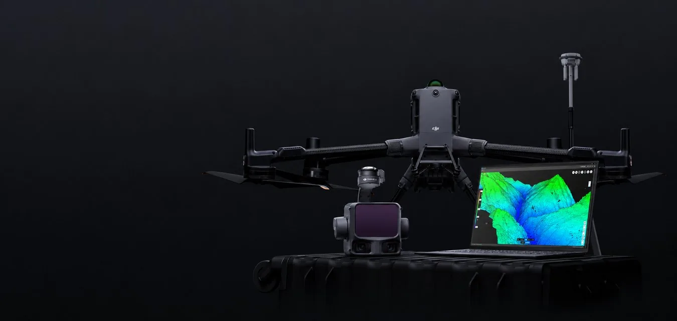
Quickly create accurate 2D and 3D models. Cover larger areas, improve safety and reduce costs.
Challenges
- Field work with traditional survey methods is slow and inefficient, increasing costs and time on site.
- Traditional survey results lack visuals or have low resolution, limiting the understanding of the terrain.
- Collecting usable data in challenging and remote areas is difficult and dangerous.
- Regularly tracking terrain changes with traditional methods is inefficient.
Benefits
- Affordable drone solutions with automated data collection and processing significantly reduce costs and save time.
- Visual results: accurate high-resolution maps, point clouds and 3D models.
- Fast aerial data collection reduces risk to staff in hazardous conditions.
- A digital archive that is easy to use for regular comparison of terrain conditions and dynamic change monitoring.
Equipment and Software
Cadastral Survey
Improve land management and cadastral work efficiency: high-precision drone solutions quickly create digital models.
Challenges
- Cadastral surveys usually require collecting large volumes of data, including by ground crews in dangerous or hard-to-reach places.
- Traditional cadastral survey methods lack visual data, limiting comprehensive land-use analysis.
Benefits
- Drone solutions cover larger areas than ground survey instruments, improving field data collection efficiency and reducing its time.
- A digital archive that is easy to use for regular comparison of land conditions and dynamic change monitoring.
Equipment and Software
Urban Planning
Create accurate 2D and 3D models that integrate easily into local GIS and help teams visualize results.
Challenges
- Land management and land-use planning rely on low-resolution imagery and paper and topographic maps that are rarely updated.
- Data collection in cities is inefficient and time-consuming due to the complex environment.
Benefits
- Accurate, up-to-date data: drone-based 2D maps and 3D models for informed design and planning.
- Simple flight mission creation improves survey efficiency in and around cities, reducing field costs and time.
Equipment and Software
Construction Progress Management
Track construction progress more efficiently and simplify team collaboration with high-precision visual drone data.
Challenges
- No up-to-date visual information on work progress.
- Inefficient communication and processes.
- Rising project costs due to inefficient management and rework.
Benefits
- High-precision 2D and 3D models for progress monitoring and easy comparison with past data.
- Drone data is easy to share between teams for better-informed decisions.
- Staying on budget thanks to faster and more frequent collection of accurate data.
Equipment and Software
Earthwork
Improve earthwork efficiency with frequent and accurate measurements of moved soil and stockpile volumes.
Challenges
- Without regularly updated stockpile measurements, the project may be delayed and materials delivered inaccurately.
- Walking survey methods increase labor costs and time.
- The accuracy of manual stockpile measurements may suffer from human error.
Benefits
- Up-to-date stockpile measurements from a point cloud at any time.
- Less field work thanks to efficient drone data collection.
- Consistent, high-quality data thanks to repeatable flight missions.
Equipment and Software
BIM
Collect accurate site information for building information modeling (BIM) with efficient and precise surveys.
Challenges
- No visual 3D models to compare design with as-built conditions.
- Ground-based methods are slow and expensive.
Benefits
- Accurate 3D models of the site for visual design vs. as-built comparison.
- High efficiency thanks to a simple data collection process.
Equipment and Software
Heritage Preservation
Create accurate digital reconstructions of historic sites for more efficient research and preservation work.
Challenges
- No visual 3D models for conservation documentation and historical records.
- Ground measurements take a long time and increase risk to staff.
Benefits
- Accurate 2D and 3D models of historic sites for restoration planning and research.
- Optimized on-site data collection with drone surveys.
Equipment and Software
Mining Survey
Optimize stockpile measurement and pit modeling: a safer, faster and more accurate way to collect data than traditional surveys.
Challenges
- Mining surveys often take place in remote locations with high safety risks for staff.
- Traditional ground surveys are expensive, slow and inefficient.
- Ensuring data quality with traditional methods is difficult.
Benefits
- Fast coverage of large and hazardous areas greatly simplifies data collection and improves staff safety.
- Easy-to-deploy aerial data collection solutions reduce costs and improve efficiency.
- Repeatable flight missions ensure data quality and accuracy.
Equipment and Software
Facade and High Wall Survey
Reduce risks at the mine and improve work efficiency with frequent and accurate modeling of pit walls.
Challenges
- Traditional high wall survey methods often put staff at risk.
- It is slow and inefficient, especially on large mining sites.
- There is a lack of high-precision, high-resolution data on pit walls.
Benefits
- Less risk thanks to safer data collection methods without loss of quality.
- Optimized field work and higher efficiency thanks to aerial surveys.
- High-quality georeferenced models for informed decisions.
Equipment and Software
Mining Equipment Inspection
Improve equipment inspection efficiency by collecting visual and thermal data without stopping operations.
Challenges
- Manual inspection is slow and inefficient, especially on large mining sites.
- Traditional inspection methods usually require many people and resources.
- Infrequent inspections can lead to higher operating costs and equipment failures.
- Equipment in hard-to-reach places is difficult to inspect with traditional methods.
Benefits
- Easy equipment condition assessment and much simpler data collection.
- Easy-to-deploy aerial data collection solutions reduce costs and improve efficiency.
- Real-time data collection enables a quick response to changing conditions.
- An aerial view makes it possible to inspect equipment in hard-to-reach places and carry out a more complete inspection.
Equipment and Software
Mine Site Safety
Improve mine safety and optimize operations with an aerial view of the site and data collection.
Challenges
- Mining sites often have inaccessible or hazardous zones, creating challenges for staff safety.
- Getting accurate information in time for a quick response is difficult.
- Manual inspections can miss hidden hazards, and collected data may be incomplete or inaccurate.
Benefits
- Regular aerial monitoring improves mine safety and reduces risks.
- Real-time imagery from the mine improves decision-making.
- High-precision 2D and 3D models for accurate identification and assessment of risks.
Equipment and Software
Precision Agriculture
Simplify sampling with timely drone data collection: optimize crop management and fight diseases effectively.
Challenges
- Without georeferenced data, it is hard to locate crop areas that need attention.
- Manual sampling is slow and labor-intensive, so it can only be done occasionally.
- Traditional crop assessment relies on observation and limited data analysis.
- It is difficult to see the overall condition of the entire field.
Benefits
- Health assessment and disease prevention for each plant thanks to georeferenced data collection.
- More frequent sampling thanks to fast aerial surveys.
- Access to diverse data: RGB, multispectral, thermal and LiDAR data.
- Coverage of large areas in a single flight.
Equipment and Software
Forestry
Forest inventory and management require surveying large areas. Drones simplify data collection by providing high-precision digital data and improve forest management efficiency.
Challenges
- Forest resource surveys are labor-intensive, and traditional methods require many people. This is especially difficult in areas with complex terrain that staff struggle to reach.
- Traditional methods make it hard to collect complete and accurate information about the site and its environment quickly.
Benefits
- Drones are fast and flexible: they quickly reach the required areas and scan them regardless of terrain and other conditions.
- Drones create accurate digital models of forests, helping manage forest resources efficiently.
Equipment and Software