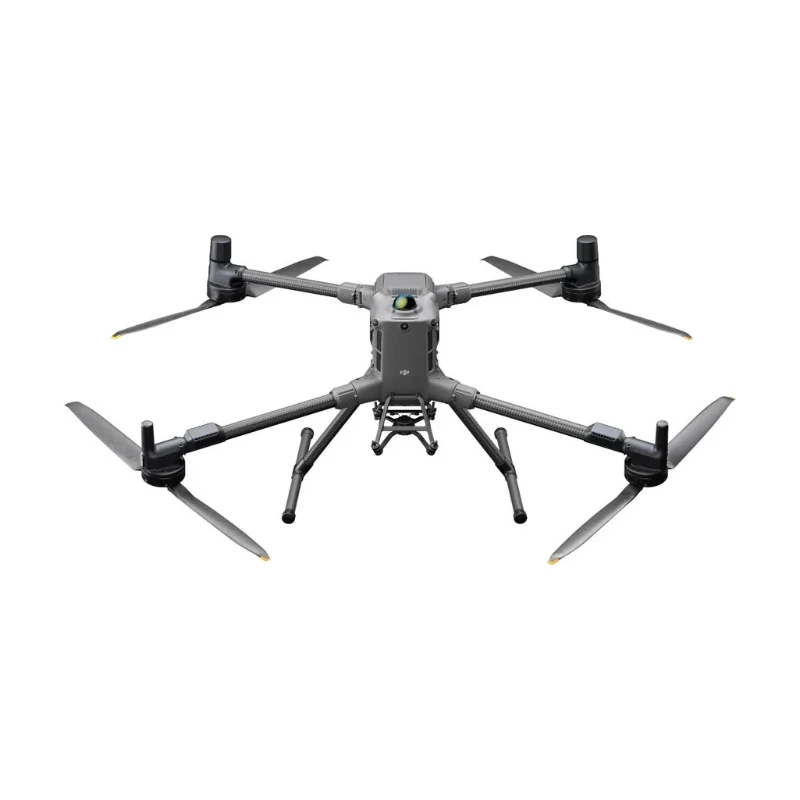
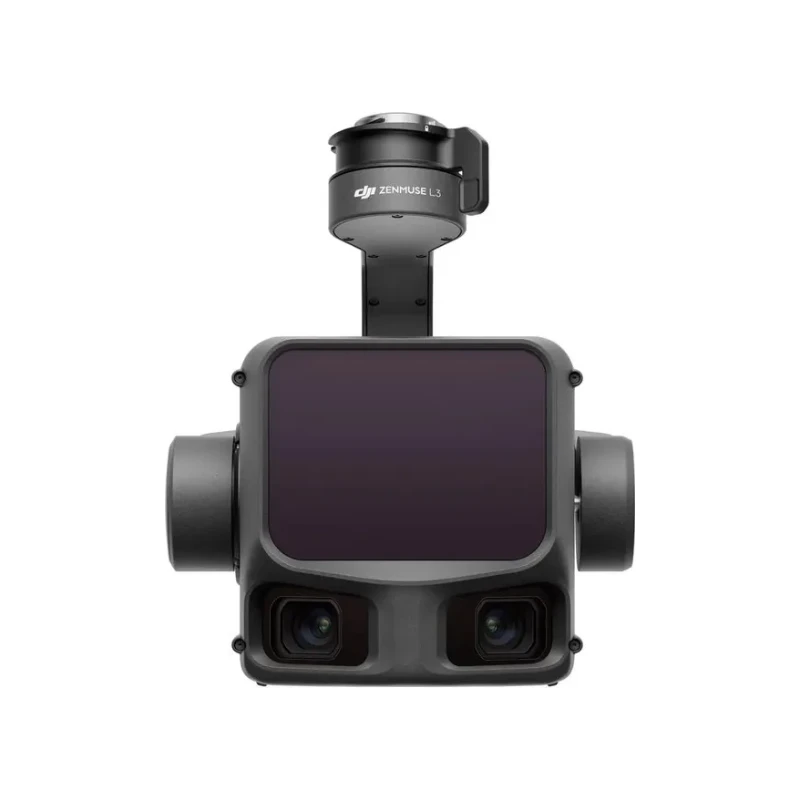
Software for processing aerial imagery and LiDAR data. Orthomosaics, point clouds, digital elevation models and 3D models. For surveying, construction and infrastructure inspection.
DJI Terra — software that turns aerial survey data into geospatial results for surveying, construction and infrastructure inspection.
It combines photogrammetric reconstruction and DJI LiDAR data processing: creates 2D and 3D outputs from photos, point clouds and digital elevation models, and works with control points and coordinate systems.
Results are exported for further work in specialized software. For Zenmuse L3, DJI states free point cloud processing; other features depend on the selected license.
Key features
2D and 3D from photos — orthomosaics and 3D models.
LiDAR point clouds — processing Zenmuse L2 and L3 data.
Control points — working with coordinates.
Export — for specialized systems.
Free for L3 — point cloud processing as stated by DJI.
Supply
DJI Terra distribution
Paid features depend on the selected license; terms for new features are checked per version.
Compatibility
Data
DJI Matrice 4E and Mavic 3E — photogrammetry.
DJI Zenmuse P1 — high-accuracy photogrammetry.
DJI Zenmuse L2 and L3 — LiDAR data.
The software runs on a compatible Windows PC; hardware requirements depend on data volume.
System Requirements
System Version
Windows 10 or later (64-bit)macOS and other operating systems are not supported.
Minimum Configuration
32 GB RAM NVIDIA graphics card with 4 GB VRAM (Shader Model 6.1 or higher)
Recommended Configuration
64 GB RAM or more NVIDIA 2070 graphics card or higher
Graphics Cards
NVIDIA only; AMD and other graphics cards are not supported
Processing Capacity
Every additional 10 GB of free memory — approx. 4,000 more imagesComputer performance affects processing speed and capacity, but not the quality of the result.
NVIDIA Driver
Version 522.25 or later
Gaussian Splatting
Windows 10 or 11, 4 GB VRAM or more and 32 GB RAM or more; with 6 GB VRAM or more — approx. 30% faster
Online license: paid features require a stable internet connection Offline license: works without internet after binding to a computerThe offline license is bound to the computer hardware: it stops working after components are replaced.
Updates
Since version 5.0.0, updates are free of charge
Rebinding
A 3-device license can be rebound twice per calendar year; a single-device license — once
Data Processing
2D Reconstruction
Orthomosaics (DOM) and digital surface models (DSM) in GeoTIFF, UTM projection; tiling
3D Reconstruction
Level-of-detail models: OSGB, B3DM, S3MB Textured meshes: PLY, OBJ, FBX, I3S Point clouds: PNTS, LAS, LAZ, S3MB Aerial triangulation results: XML and Terra's own format
3D Gaussian Splatting
Photorealistic models of complex objects: lattices, forests, vegetation, glass, metal
LiDAR Data Processing
Zenmuse L-series point clouds: PNTS, LAS, S3MB, PLY, PCD; trajectory in SBET and SMRMSG formatsFor Zenmuse L2, processing and advanced features are free (according to data for version 5.0.0).
Multispectral 2D Reconstruction
Vegetation indices, radiometric correction (up to 3 calibration panel datasets)
Ground Control Points (GCP)
Import of control and check points, aerial triangulation optimization; at least 4 points recommended
Cluster Processing
Master and worker computers on a local network; 1 GB of free memory on the master — approx. 6,000 images
Third-Party Data
LAS point cloud import; 3D models can also be built from images captured by other manufacturers' drones
Compatibility
Detailed Inspection (Route Planning)
Matrice 4E / 4T, Matrice 4D / 4TD, Mavic 3 Enterprise Series (3E, 3T), Matrice 30 Series, Matrice 300 RTK with Zenmuse H20, Phantom 4 RTK, Mavic 2 Enterprise AdvancedSince version 5.0.0, Terra plans routes only for detailed inspection and agriculture.
Related Software
DJI Modify — model editing; DJI Reality — model viewing
Specifications are based on official DJI data (enterprise.dji.com/dji-terra/faq). Actual values may vary depending on operating conditions and firmware version.